@Archibum @Jean-Marc,
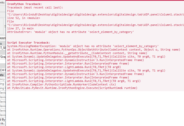
Thanks for the responses, yes it was a gpt script that I was using. I’ve decided to have a look at it again.
I’ve managed to get close by editing the sub elements and moving the vertex of the floor but I don’t think my intersection of the floor points with the topo is working. I also think I should be adding more points onto the floor and then doing it that way.
This is what I have so far:
from Autodesk.Revit.DB import (
    BuiltInCategory, XYZ, ReferenceIntersector,
    FindReferenceTarget, Transaction, Options, Solid,
    GeometryInstance, UV, SlabShapeEditor, SlabShapeVertex
)
from Autodesk.Revit.UI.Selection import ObjectType, ISelectionFilter
import clr
clr.AddReference("System")
from System.Collections.Generic import List

uidoc = __revit__.ActiveUIDocument
doc = uidoc.Document

class FloorSelectionFilter(ISelectionFilter):
    def AllowElement(self, element):
        return element.Category.Id.IntegerValue == int(BuiltInCategory.OST_Floors)
    def AllowReference(self, refer, point):
        return False

class TopoSelectionFilter(ISelectionFilter):
    def AllowElement(self, element):
        return element.Category.Id.IntegerValue == int(BuiltInCategory.OST_Topography)
    def AllowReference(self, refer, point):
        return False

try:
    floor_selection_filter = FloorSelectionFilter()
    selected_floor_ref = uidoc.Selection.PickObject(
        ObjectType.Element,
        floor_selection_filter,
        'Select a floor to modify.'
    )
    selected_floor = doc.GetElement(selected_floor_ref.ElementId)

    topo_selection_filter = TopoSelectionFilter()
    selected_topo_ref = uidoc.Selection.PickObject(
        ObjectType.Element,
        topo_selection_filter,
        'Select a topography surface.'
    )
    selected_topo = doc.GetElement(selected_topo_ref.ElementId)

    t = Transaction(doc, "Modify Floor Shape")
    t.Start()

    boundary_points = []
    options = Options()
    options.ComputeReferences = True
    options.IncludeNonVisibleObjects = True
    geometry_element = selected_floor.get_Geometry(options)

    for geometry_object in geometry_element:
        if isinstance(geometry_object, Solid):
            solid = geometry_object
            for face in solid.Faces:
                normal = face.ComputeNormal(UV(0.5, 0.5))
                if abs(normal.Z) > 0.99 and normal.Z < 0:
                    edge_loops = face.EdgeLoops
                    for edgeArray in edge_loops:
                        for edge in edgeArray:
                            curve = edge.AsCurve()
                            start_point = curve.GetEndPoint(0)
                            boundary_points.append(start_point)
        elif isinstance(geometry_object, GeometryInstance):
            instance_geometry = geometry_object.GetInstanceGeometry()
            for inst_geom_obj in instance_geometry:
                if isinstance(inst_geom_obj, Solid):
                    solid = inst_geom_obj
                    for face in solid.Faces:
                        normal = face.ComputeNormal(UV(0.5, 0.5))
                        if abs(normal.Z) > 0.99 and normal.Z < 0:
                            edge_loops = face.EdgeLoops
                            for edgeArray in edge_loops:
                                for edge in edgeArray:
                                    curve = edge.AsCurve()
                                    start_point = curve.GetEndPoint(0)
                                    boundary_points.append(start_point)

    unique_points = []
    for pt in boundary_points:
        if not any(pt.IsAlmostEqualTo(existing_pt) for existing_pt in unique_points):
            unique_points.append(pt)

    print('Boundary points: ', unique_points)

    direction_up = XYZ(0, 0, 1)
    direction_down = XYZ(0, 0, -1)
    reference_intersector = ReferenceIntersector(
        selected_topo.Id,
        FindReferenceTarget.Face,
        doc.ActiveView
    )

    new_points = []

    for point in unique_points:
        results_up = reference_intersector.Find(point, direction_up)
        results_down = reference_intersector.Find(point, direction_down)

        intersection_point = None
        if results_up:
            intersection_point = results_up[0].GetIntersection().XYZPoint
        elif results_down:
            intersection_point = results_down[0].GetIntersection().XYZPoint
        else:
            intersection_point = point

        new_points.append(intersection_point)

    print('New points: ', new_points)

    slab_shape_editor = selected_floor.SlabShapeEditor

    slab_shape_editor.Enable()

    for pt in unique_points:
        slab_shape_editor.DrawPoint(pt)

    vertices = slab_shape_editor.SlabShapeVertices

    print('Vertices: ', vertices)

    for vertex in vertices:
        vertex_pt = vertex.Position
        min_dist = None
        closest_pt = None
        for pt in new_points:
            dist = vertex_pt.DistanceTo(pt)
            if min_dist is None or dist < min_dist:
                min_dist = dist
                closest_pt = pt
                print("Closest point: ", closest_pt.Z)
        if closest_pt:
            slab_shape_editor.ModifySubElement(vertex, closest_pt.Z)

    t.Commit()
    print("Floor shape modified successfully.")

except Exception as e:
    import traceback
    print("Selection cancelled or an error occurred: {}".format(e))
    traceback.print_exc()
Thanks