Hello,
As I’m wrapping up my work for the pre-flight check hackathon, I’m excited to share my tool plan. I’m refining the script for the November 1st deadline and would love your feedback.
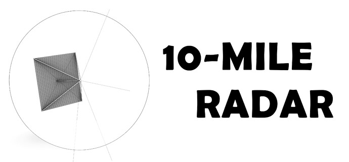
Name of the preflight check : 10-Mile Radar
Issue: Positioning model extents beyond 10 miles from the project’s internal origin can cause issues with accuracy, tolerance, performance, and viewport display.
Objectives:
- A quick tool to detect objects that extend beyond Revit’s 10-mile limit from the internal origin.
- Design the tool to be as generic as possible, making it usable for every discipline.
- Ensure the tool runs as fast as possible and provides clear information about the model’s current status.
- Utilize bounding boxes for views, sacrificing some accuracy for speed, rather than relying on the object’s geometry.
General Approach
1- To maintain a fast preflight check, this tool uses the view bounding box instead of the actual element location, significantly reducing the need for slow element filtering or looping. In this case, I create an isometric view with the parameters below
- The latest phase with a phase filter set to show complete
- All worksets are set to be visible in the visibility/graphics.
- All Objects and Links are visible
- Section box is enabled
- I have no idea how to cycle through design options on a view3D class, but since usually design options contains minimal objects I think it is still possible to operate a filteredelementcollector and report the bounding boxes of all elements in each design options. I welcome your feedback.
def create_3d_view():
    view3Dtypes = DB.FilteredElementCollector(doc).OfClass(DB.ViewFamilyType).WhereElementIsElementType().ToElements()
    view3dtype = [v for v in view3Dtypes if v.ViewFamily == DB.ViewFamily.ThreeDimensional][0]
    view = DB.View3D.CreateIsometric(doc, view3dtype.Id)
    worksets = FilteredWorksetCollector(doc).OfKind(WorksetKind.UserWorkset).ToWorksets()
    for ws in worksets:
        view.SetWorksetVisibility(ws.Id, DB.WorksetVisibility.Visible)
    view.IsSectionBoxActive = True
    return view

def get_bounding_box(view):
    bb = view.GetSectionBox()
    bb.Enabled = True
    bbox = bb.Bounds
    min = bbox[0]
    max = bbox[1]
    return bb, min, max
2- To create the view and obtain the bounding box of the 3D view, use a temporary transaction and then dispose of it instead of committing it.
t = Transaction(doc, 'Create 3D View')
t.Start()
# get all design option Objects
dobjects = getalldesignoptionobjects()
if dobjects:
    for do in dobjects:
        print(do.Min, do.Max)
tempview = create_3d_view()
tempview
tempbbox = get_bounding_box(tempview)
t.Dispose # cancel the transaction


pt1 = (tempbbox[1].X, tempbbox[1].Y, tempbbox[1].Z)
pt2 = (tempbbox[2].X, tempbbox[2].Y, tempbbox[2].Z)

# calculate distances
dis1 = calculate_distance(pt1, originpt_tuple)
dis2 = calculate_distance(pt2, originpt_tuple)
3- Determine if the view bounding box extends beyond the 10-mile distance. If it does, proceed to the following steps; otherwise, terminate the script.
if dis1 > 5280 or dis2 > 5280:
    print ("The Radar Box is larger than 10 miles, Additional Analysis Required")
4- If objects are found to extend beyond the 10-mile limit, conduct additional bounding box analysis as follows:
- Priority 1: Determine the placement of the Project Base Point/Survey Point relative to the internal origin. Report if any of these points are located more than 10 miles away.
- Priority 2 : Collect RVT links and determine the extent of their bounding boxes. Report objects using Linkify.
- Priority 3: Collect CAD links/imports and determine the extent of their bounding boxes. Report objects using Linkify.
# Functions Pending
5- If objects still exceed the limit, a slower filtering process may be necessary to identify which ones are located that far out.
# Functions Pending
I welcome any feedback as I can slowly progress towards the deadline and hopefully I’ll generate a pull request by end of next week, I haven’t started on the front end of the script and looking to incorporate forms, output and linkify in the final script.
